PRECISION AGRICULTURE
Precision Agriculture
Precision agriculture is defined as a land use method aimed at better managing inputs and adapting agricultural practices to optimize yields, while taking into account intra-plot variability. The goal of precision agriculture is not necessarily to standardize a field’s yield, but rather to achieve full potential in each area of the field.
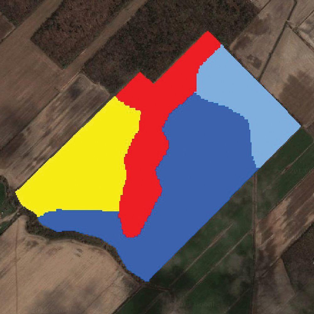
Recognizing the different management zones within fields is the basis of precision agriculture. Yield maps, satellite images, soil type maps, observations and the knowledge of the farmer of the land, for instance, can be used to identify these zones. The combination of all this information helps to subdivide the field into 4 or 5 management zones. The number of zones can be either reduced or increased, depending on the client's needs. Once the number of zones is set, the map can be used for georeferenced soil sampling and to learn more about variability in the field. The zone map can also be used to generate a variable-rate seed map based on the field's potential for uneven yield.
Yield Maps
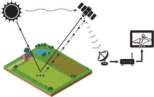
The analysis of yield maps is another step in precision agriculture. Yield maps are useful for monitoring yield progress year after year, based on local improvements made in different management zones. They also allow you to see the results of different trials that may be implemented by the producer. AgConnexion can be synchronized with most GPS systems so you can quickly and easily recover historical yield data, as well as data for the current year.
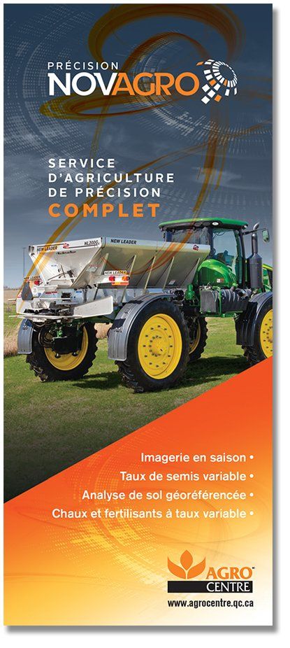
A COMPLETE PRECISION AGRICULTURE SERVICE
The Agrocentre network team is proud to always be up to date on the latest technology and be able to assist clients in precision agriculture. With the integrated AgConnexion solution and our state-of-the-art equipment we can offer you the following: